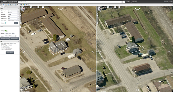
Out with PictometryOnline™ and in with CONNECTExplorer™
PictometryOnline™ is retiring later this year! Not to worry, though, because it’s being replaced by our faster and more exciting CONNECTExplorer™ platform! We know what […]
When first introduced to Pictometry® Intelligent Imagery®, Linda Griggs, assessor, and Liz Kriegel, deputy assessor, for Iowa County, Iowa were not familiar of the benefits […]
What are industry associations? How much do they cost? What do they do for me? All of these questions are completely relevant to a contractor. […]
(Bothell, Wash., February 8, 2016) – EagleView Technology Corporation, a leading technology provider of aerial imagery, data analytics and GIS solutions, announced that its wholly […]
(Bothell, Washington, February 4, 2016) – EagleView Technology Corporation, a leading technology provider of aerial imagery, data analytics and GIS solutions, announced that its wholly […]
The 2016 calendar showcases twelve of our team’s favorite Pictometry images out of more than 28 million captured in the 2014-2015 image season. The February […]
The Sandia Mountains stand outside of Albuquerque, New Mexico. The steep rise featured in this image forces warm air upward, cooling it. This creates clouds […]