August 31, 2017
7 Ways You Can Help Hurricane Harvey and Hurricane Irma Relief Efforts
As news continues to pour in regarding the devastation in Texas left by Hurricane Harvey, as well as the damage caused by Hurricane Irma in […]
As news continues to pour in regarding the devastation in Texas left by Hurricane Harvey, as well as the damage caused by Hurricane Irma in […]
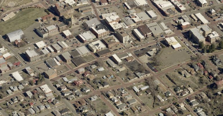
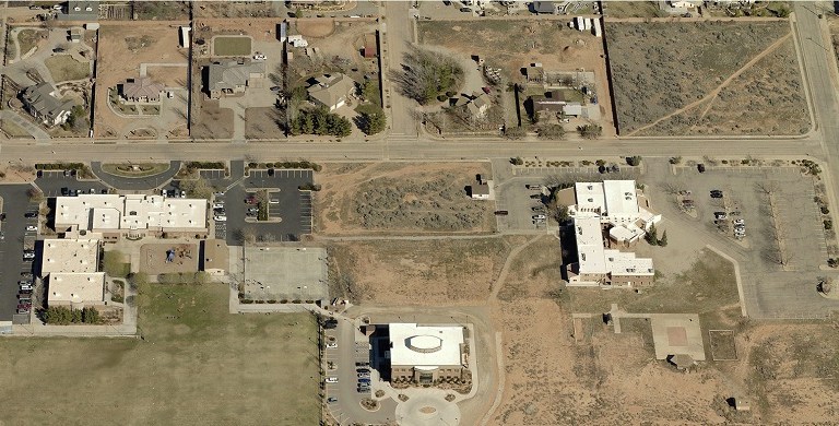
Las Animas County, Colorado, quickly and accurately assessed high-growth areas using aerial imagery.
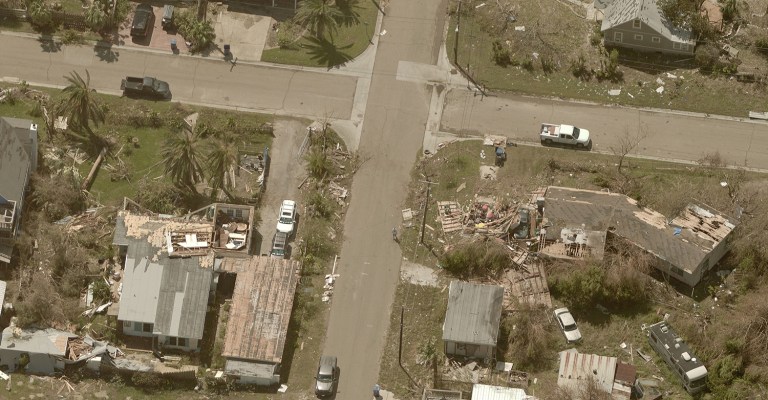
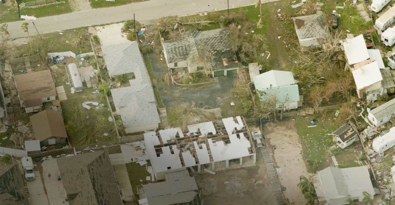
EagleView is continuing to ramp up our operations with over 20 planes currently flying and capturing high-resolution aerial imagery surrounding the affected areas of Texas. […]
In the aftermath of Hurricane Harvey and the flooding that followed, property/casualty insurers are ramping up for their widest use of drones to date to […]
Xactware Solutions Inc. has failed to show a patent related to aerial rooftop measurement software is invalid, the Patent Trial and Appeal Board said Monday, […]
Hurricane Harvey is here and EagleView has you covered. We’re here to support you during and after the event with our insurance claims services. We […]

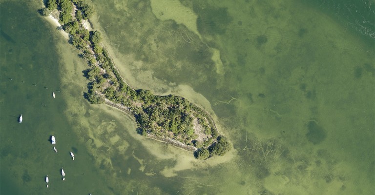
Some photos you have to see to believe. That’s how we feel about these 10 rainbow-hued aerial images we captured recently. In no particular order, […]
Mohave County, Arizona, Assessor Jeanne Kentch reminded county residents that the assessor’s office would be canvasing the area this autumn. If you see a group […]
EagleView recently announced the promotion of Kenneth Cook to Vice President of EagleView OnSite Solutions. Previously, Cook served as Vice President of Client Relations at […]
The 2017 calendar showcases twelve of our team’s favorite Pictometry® images out of the millions captured throughout the year. The August 2017 image brings us […]