December 11, 2017
5 Reasons to Register Early for FutureView 2018
With 2018 almost upon us, the end of the year is the perfect time to put together your to-do list for the next 12 months. […]
With 2018 almost upon us, the end of the year is the perfect time to put together your to-do list for the next 12 months. […]

This week, we’ve explored the importance of geography and geographic information systems (GIS), from the impact of geospatial education to the career opportunities for GIS […]
We at EagleView love GIS, so it makes sense that we would host a bi-coastal GIS Day celebration. With webcams in both offices, we were […]

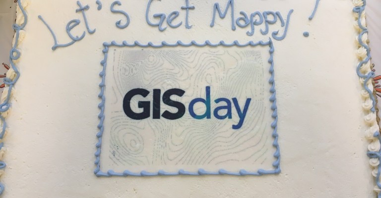
Happy GIS Day! Today we celebrate the impact geospatial technology has on society. Schools, businesses, and communities all around the globe will celebrate with educational […]
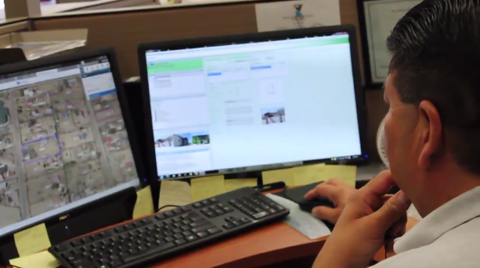
As the Educational Program Manager at EagleView, Andrew Mendola brings geographic information systems (GIS) to educational institutions around the country. In honor of Geography Awareness […]

As the leading provider of aerial imagery, remote measurements, and property data analytics, EagleView recognizes the importance of geography and geographic information systems (GIS) technology. […]
This week, EagleView took part in the 99th annual Conference on Assessment Administration. On day 1, after celebrating the 20th anniversary of the Kentucky IAAO […]
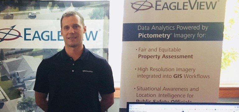
This week, EagleView is attending the 99th annual Conference on Assessment Administration in Bowling Green, Kentucky. Every assessment official—or Property Valuation Administrator (PVA)—in Kentucky is […]

Kenneth Cook, Senior Vice President of EagleView OnSite Solutions at EagleView, will be joining a panel of experts for a webinar from A.M. Best and […]

FutureView, the advanced training and user conference for Pictometry® imagery users, is heading to Austin, Texas, from August 27 to 30, 2018. Attendees at FutureView 2018 […]