Skip to content
EagleView US
Site Menu
Menu
Site Menu
EagleView US
Search
Solutions
BY INDUSTRY
Construction
Government
Insurance
Solar
Utilities and Infrastructure
EAGLEVIEW DATA
EAGLEVIEW AI
EAGLEVIEW PLATFORM
BY PRODUCT
EagleView Assess™
Residential Construction Reports
Commercial Construction Reports
High-Resolution Aerial Imagery
EagleView Cloud
EagleView Inform™
EagleView TrueDesign™
Support
Get Support
CONNECT Resources
Explorer Resources
TrueDesign™ Resources
EagleView Assess™ Resources
Developer
Company
Leadership
Blog
Podcast
Newsroom
Case Studies
Partners
Investors
Careers
Careers in India
Contact Us
Developer
Search
Order
Login
My EagleView
CONNECTExplorer
EagleView Cloud
EagleView Newsroom
Government
All Industries
Government
Construction
Solar
Insurance
Utilities
CATastrophic Response System
EagleView Data
Events
An Inside Look at FutureView 2017: Day 1
EagleView
Near Infrared: More Than Meets the Eye
EagleView
One Crucial Resource for Assessors Handling Property Tax...
EagleView
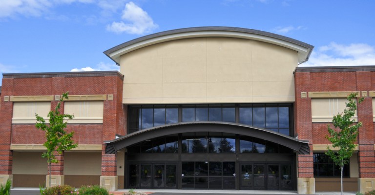
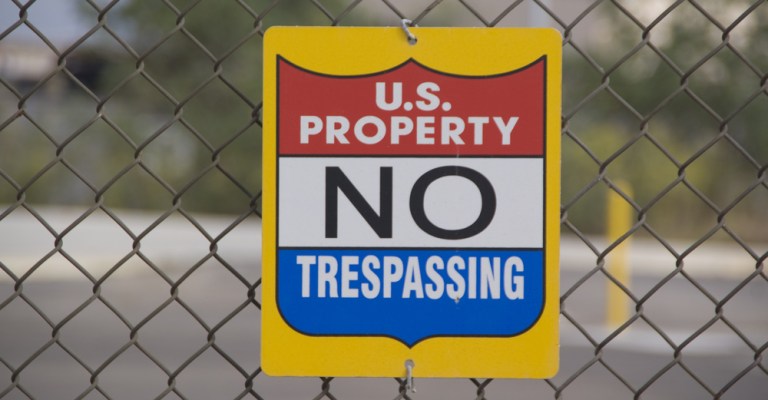
What Trespassing Pokémon Go Players Can Teach Us About...
EagleView
People of EagleView: Project Manager Nick Rozaklis
EagleView
The EagleView Team Weighs In: You Know You Work in GIS...
EagleView
Mappy Holidays: 11 Festive Examples of GIS
EagleView
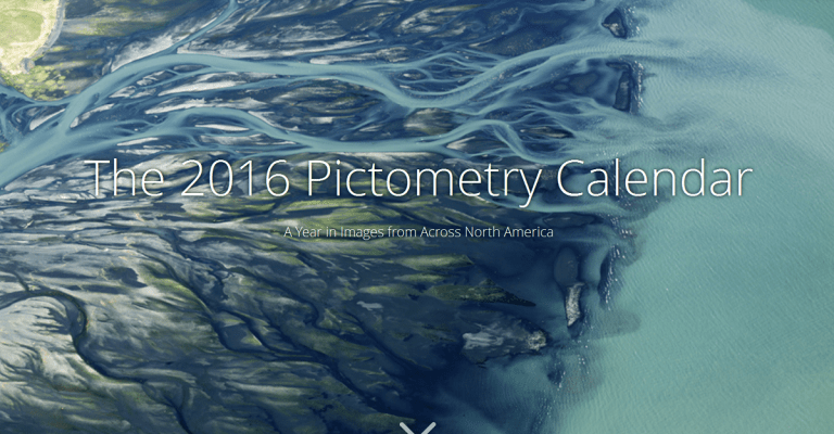
Story Map: How Far Do We Go to Capture Pictometry Imagery?
EagleView
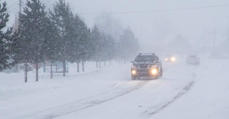
What Public Safety Can Do About Dangerous Winter Driving...
EagleView
4 Cutting-Edge Technologies for Assessors in 2017
Get To Know Us
Say ‘Yes’ to GIS: Celebrate GIS Day on November 16
EagleView
GIS in Action: Protecting Our Nation’s Lands
« Previous
1
…
14
15
16
17
18
…
23
Next »